We often talk about the importance of file backups, for some pretty good reasons: hard drives can be damaged or lost, files can be corrupted or scrambled beyond repair by ransomware, and even Google’s data stores aren’t invulnerable to natural disasters.
It’s not just your files that need to be backed up – generally, it’s a bad idea to rely on any system with a single point of failure.
Apparently, the US Navy has come to the same realization regarding navigation of ships, which depends on the availability of the Global Positioning System (GPS), operated by the US Air Force.
This year, the US Naval Academy has decided to reinstate instruction in celestial navigation, teaching a course on navigating by the stars for the first time in 10 years, according to a newspaper report from Annapolis, Maryland, home of the academy.
Midshipmen set to graduate in the class of 2016 received just three hours of instruction in this venerable navigation technique – not enough time to become expert in using a sextant – but the Naval Academy class of 2017 will be required to learn theories of celestial navigation in an advanced navigation course.
Lt. Cmdr. Ryan Rogers of the Naval Academy’s Department of Seamanship and Navigation explained the decision to resume teaching celestial navigation this way:
We went away from celestial navigation because computers are great. The problem is, there's no backup.
Rogers went on to say that it’s possible the US’s GPS system, which relies on 31 satellites to give location coordinates accurate up to within a few feet, could be shut down in a national emergency to prevent enemies from using it.
There’s also the possibility of enemies taking out the GPS satellites, a scenario the Pentagon has been war gaming, and the threat of “cyber vulnerabilities,” Rogers said.
Even without attacking the GPS system directly, an enemy could potentially turn GPS navigation against the Navy, by spoofing GPS signals.
In 2013, a team of researchers from the University of Texas demonstrated how attackers could send counterfeit GPS signals and take over a ship’s navigation system.
When we reported the story on Naked Security, a few smart commenters recognized the need for a backup navigation system:

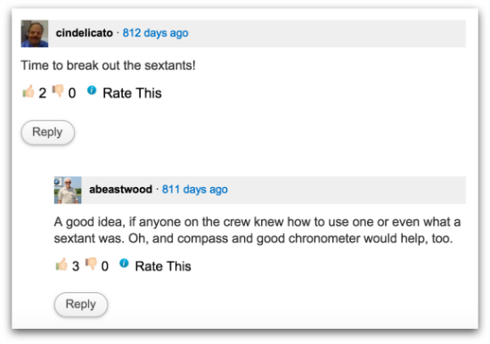
cindelicato: Time to break out the sextants!
abeastwood: A good idea, if anyone on the crew knew how to use one or even what a sextant was. Oh, and compass and good chronometer would help, too.
Now that the US Navy is bringing back celestial navigation, we might want to ask ourselves what other technologies we depend on without a backup, and what would happen to us if those technologies failed.
When the lights go out, we have flashlights or candles; when we lose power from the electrical grid, we can use a gas-powered generator.
It makes me wonder though – what would we do if a catastrophic failure took out the internet?
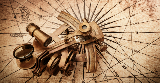
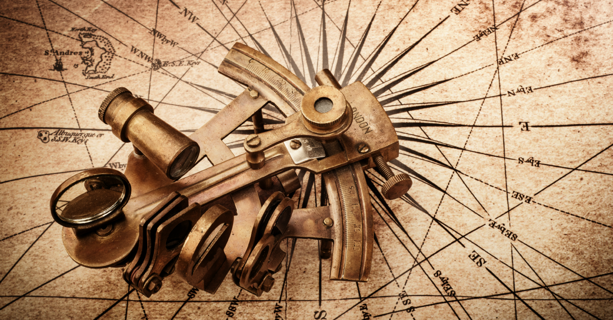
Image of sextant on old map courtesy of Shutterstock.com.

Robert Scroggins
Well, we still have radio–both commercial and citizens bands–if we have a power source, There are lots of solar cells now, and I’ve got a couple of hand crankable radios.
Andrew Ludgate
“It makes me wonder though – what would we do if a catastrophic failure took out the internet?”
This is why I made a local copy of the Internet back in 1995 :D
Seriously though, the Internet is a communications network at its heart. In order for this network to go away completely, we’d have to take out packet radio, which probably means some massive EMP event that fries all electronics — which would take out more than just the Internet.
Barring that event, I don’t think there’s much that *can* take out the Internet at this point. Poisoning the internet with false data though… that’s another thing entirely.
Dan
Take down a vast majority of the Root DNS Servers, and the internet as you know would be taken down to an absolute crawl and eventually the remaining DNS Servers could potentially crash due to the massive influx of packets destined to those nodes for queries. Couple that with a massive natural disaster and welcome to 1992.
Catman
Or fill the ‘Net with useless data, and let scofflaws like Micro$oft escape without and scrutiny is also a concern.
Too bad there aren’t good sites out there that give people a ‘heads-up’ when MS releases its toxic updates.
Like when they crammed W10 down peoples throats.
Charlie Blakey
If the internet was taken out we might have to talk to each other … always a silver lining
Anonymous
The U.S. military version of GPS is supposed to be encrypted, so that the “bad guys” can’t use it if an emergency shutdown were required, and they can’t spoof it, either. Of course, depending on their capabilities, they could always shoot down the satellites or broadcast jamming signals, so it wouldn’t hurt to have a compass. (Then they’ll probably spoof magnetic north.)
Paul Ducklin
Are you referring to “selective availability,” which is a system where civilian receivers were fed a signal containing random errors, apparently of up to 100m? IIRC, that was turned off in 2000 and has been off ever since.
Anonymous
The U.S. military has access to a different, encrypted GPS encoding. See https://en.wikipedia.org/wiki/Global_Positioning_System#Communication .
Paul Ducklin
Is this still used? And, if so, does it give the military better positional accuracy or merely faster updates?
Anonymous
I haven’t seen anything indicating it’s no longer used, so I assume it is. Another good resource for GPS info is http://www.gps.gov/support/faq/ where they indicate the military version is a little more accurate due to its ability to take the Earth’s atmospheric distortions into account.
Paul Ducklin
The same page also confirms that the civilian and military versions are the same data, just that the military version transmits on more than one frequency.
Anonymous
Land ahoy! Arrrrrrrrrr…
Anonymous
Time to bring back the Antikythera Mechanism. (I have no idea if it could be used to assist in navigation, but it would be cool if you could buy one, just in case :-)
Jeff Balvanz
You wrote:
“…we might want to ask ourselves what other technologies we depend on without a backup, and what would happen to us if those technologies failed.”
I believe what you’re describing is called disaster recovery planning, and nobody likes it for two reasons:
1. If everything goes well, it’s wasted time and money.
2. Some people are afraid that when they look at alternatives to their current workflows, the alternative will turn out to be cheaper and/or better than the way they’re doing it now.
Andrejs
Finally, a good and smart idea. I studied and also practice using sextants to obtain ships position. It is a complete nonsense that now young sailors do not know anything about celestial navigation. It is that GPS can be turned off for some time, no doubt. As an example, the recent NATO exercises off the coast of Scotland. Someone here wrote about the use of radio, nonsense in the middle of the ocean you will not be any radio signal and radar also be able to gets the only flying fish signals. If you know how to Determine the position of the vessel by stars and planets, then you are a true sailor.
4caster
….. except when it’s cloudy!
philo mcgiffin
Minor note: “midshipmen”; not “cadets”.
Paul Ducklin
Fixed, thanks!
John M Thomson
As an ancient Master Mariner who spent 10 years of my youth navigating all over the World in all weathers this is a “I told you so” moment for me!
However I do remember taking a very long time crossing from Durban to Hobart as overcast day and night prevented me getting a fix on anything and my DR position turned out to be North of where we actually were and the reason for it getting very cold indeed!
It’s a helpless feeling when you really have no idea where you are apart from your nose, magnetic compass, a rotating log over the stern often eaten by sharks and the number of prop rotations courtesy of the Chief Engineer.
James Thurber
This is a great decision. Back when I was sailing (in the 60’s and 70’s) and prior to joining the Navy the actual position of many reefs / islands were in doubt. Today with proper mapping / satellite positioning we actually KNOW where everything that represents a marine hazard is. During my Navy career (1980 through 1992) we always did a noon sight aboard our ship, usually overseen by the quartermaster. Glad to hear it’s coming back. You cannot beat the ole Sun for letting you know EXACTLY where you might be.
Paul Ducklin
As long as you know the time…which you get from…errrr….GPS.
David Bjerregaard
When I was “Special Services”, we never used GPS, as to never reveal our position. In Norway, my main navigation is by map & compass, with GPS as refinement. This due to batteries in hand held GPS, having a notoriously short life in winter, at minus20>. However I love GPS when I can’t see the end of my skis, and I just need to go those 5K’s to get up out of the white-out!